Playa Santispac

Jan 23, 2020

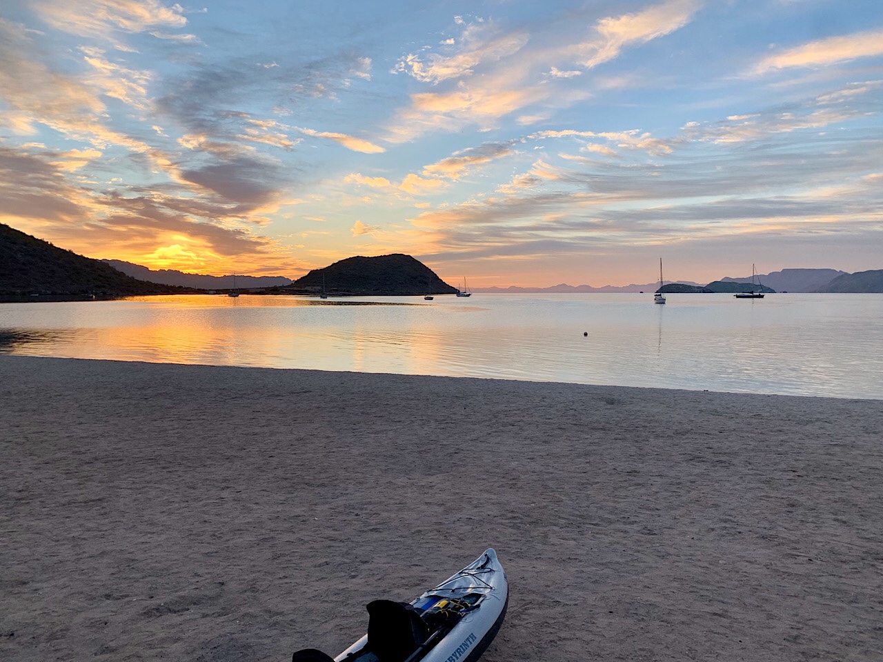
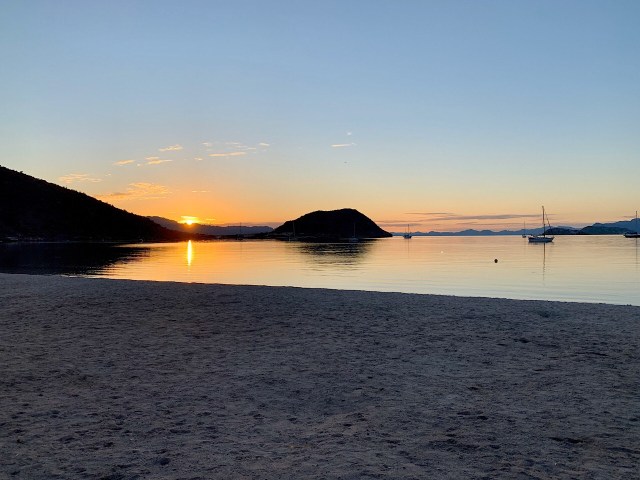
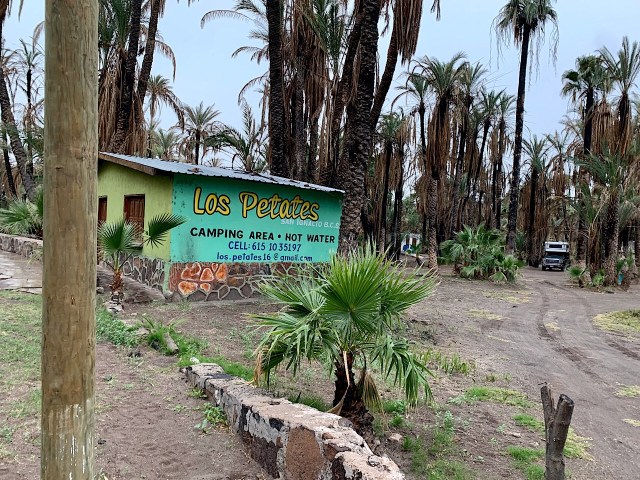
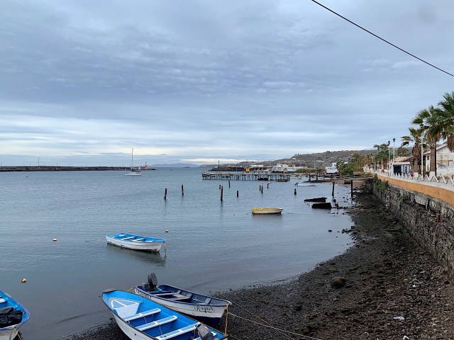
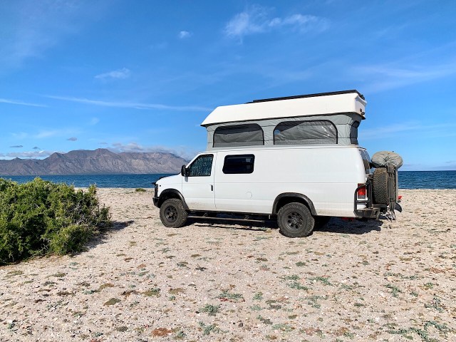
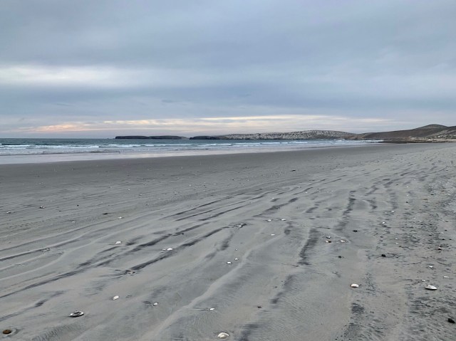
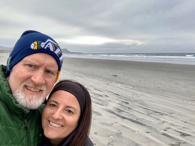
This morning after getting up we all decided to move to another place where the winds may not be as strong. The wind blew all night and the water was full of whitecaps from the winds. After getting camp packed up we drove back to the north to the bays that were on the west side of Bahia Concepcion. We finally decided upon Playa Santispac, just about 15 miles south of Mulegé. There was a campground that was in a protected bay so the water was very calm and the wind only kicked up in the afternoon, but calm later in the day. However, it was a campground where we parked 10 feet apart along the beach. The cost was $200 peso/day or about $11. Later in the afternoon we took a shower out of a bucket that we filled with warm water from the van. We also set up the kayak and paddled out past the sailboats that were anchored in the bay.

All the campgrounds along the bay have vendors that come through to sell stuff to the campers. They will deliver fish, vegetables, fruit, banana bread or what ever you want. They also sell shirts, blankets and all kinds of things. It all seems a little bit expensive, it seems that Mexico is not a cheap place to go. In the campground are several large motorhomes and 5th wheels that spend months at a time. They have vendors that will deliver water and drain their tanks so they never have to move their camper while they stay at the campground. About 80% of the foreigners we meet are from Canada. They come south for months at a time.

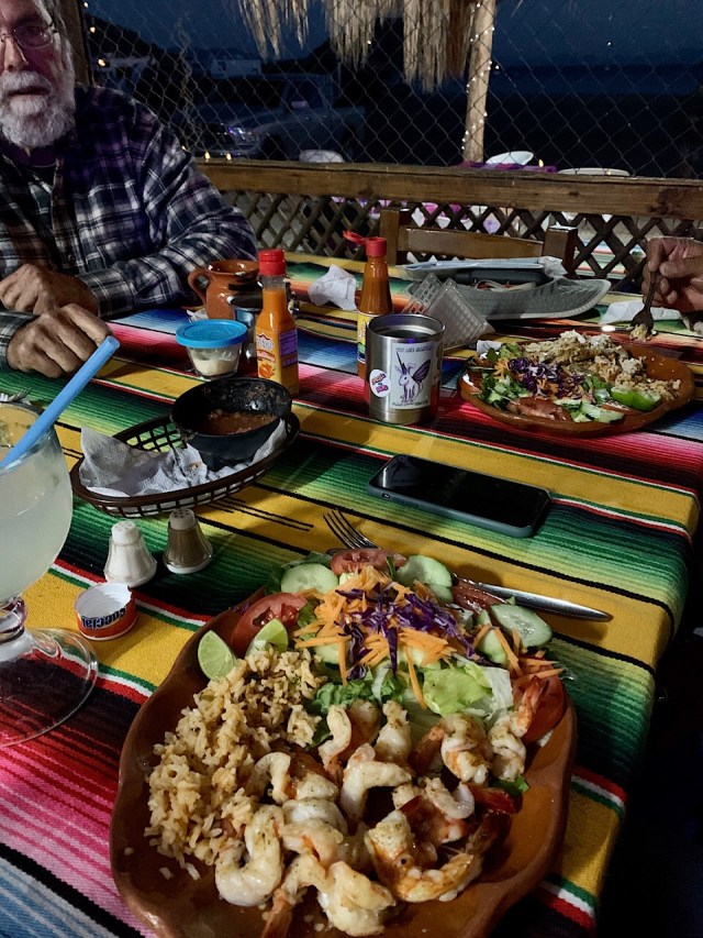
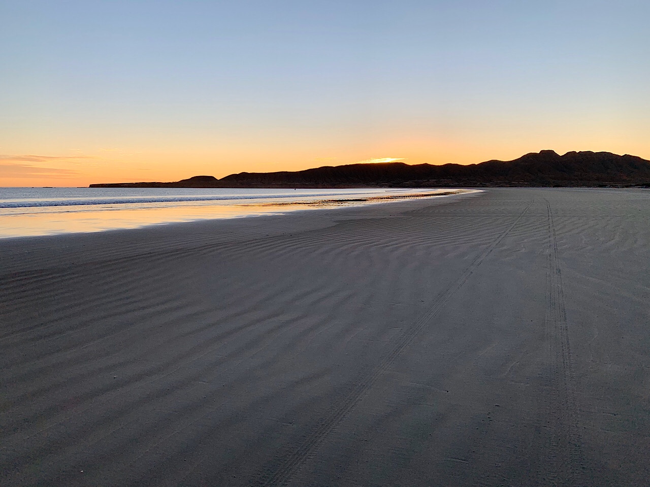
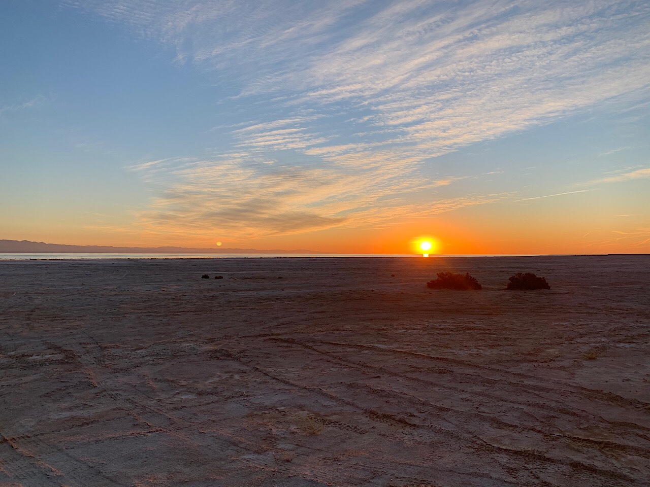
That evening we all ate at the restaurant that was in the campground. Eva had beef tacos and I had grilled shrimp. The night was real calm and we had a beautiful night where we could see the stars. Pretty much everywhere in Baja has dark skies so you can see the Milky Way and all the other stars.

Jan 24, 2020

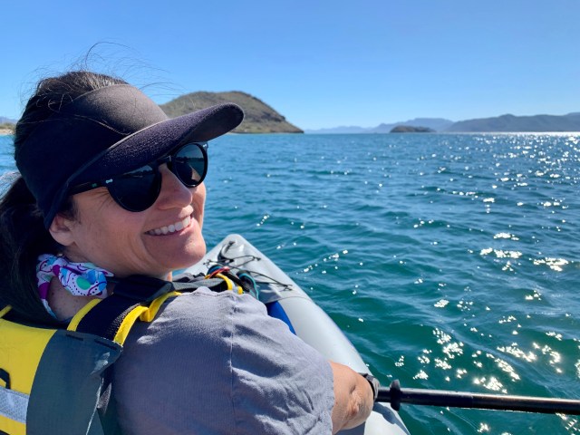
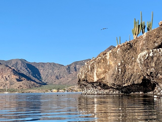
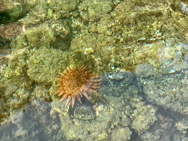
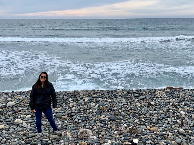
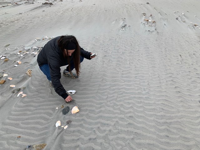
We got up earlier than usual so we could go kayaking while the water was calm. We paddled out around an island that was about 1 mile from shore. There were a lot of pelicans and gulls that lived on the island. There were also a lot of fish and other sea life near the island. We also found a starfish on a rock near the island. We watched the pelican dive in and catch fish and swallow them down their skinny throats. The water was very clear and not too cold.

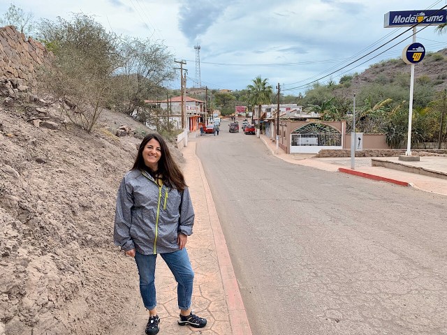
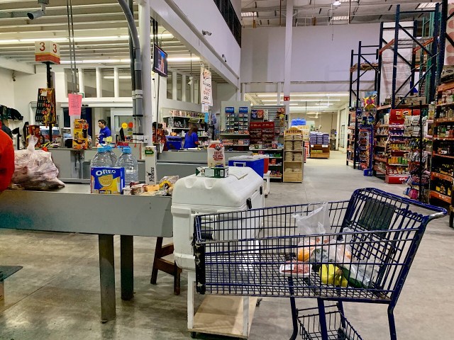
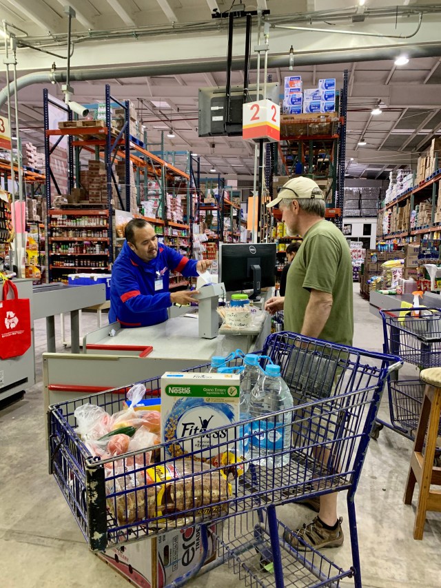
We kayaked for a few hours and then around 11:30 am we drove back into Mulege to wash our laundry. We stopped at Camila’s laundromat and did 3 loads. While the wash was in we ate lunch in the van and shared some ice cream from the shop that was next door. We also walked to a mercado and bought a few groceries. Many of the shops were closed for siesta so there was not a lot of places to go. Eva called her dad and we FaceTime with all the kids. Talked to everyone but Everett, as he was down for a nap.

We were back at camp around 4:30 pm and just hung around camp for the evening.

Jan 25, 2020

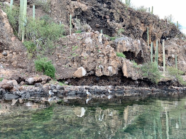
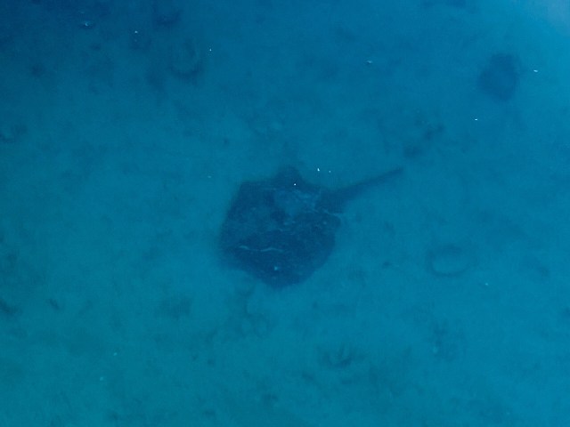
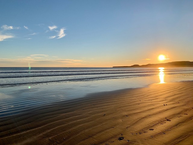
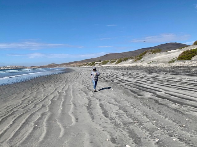
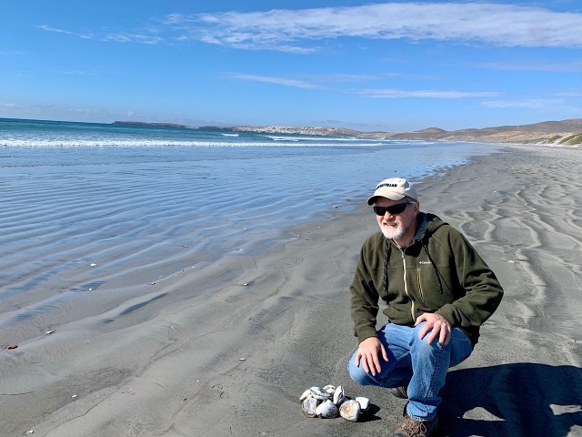
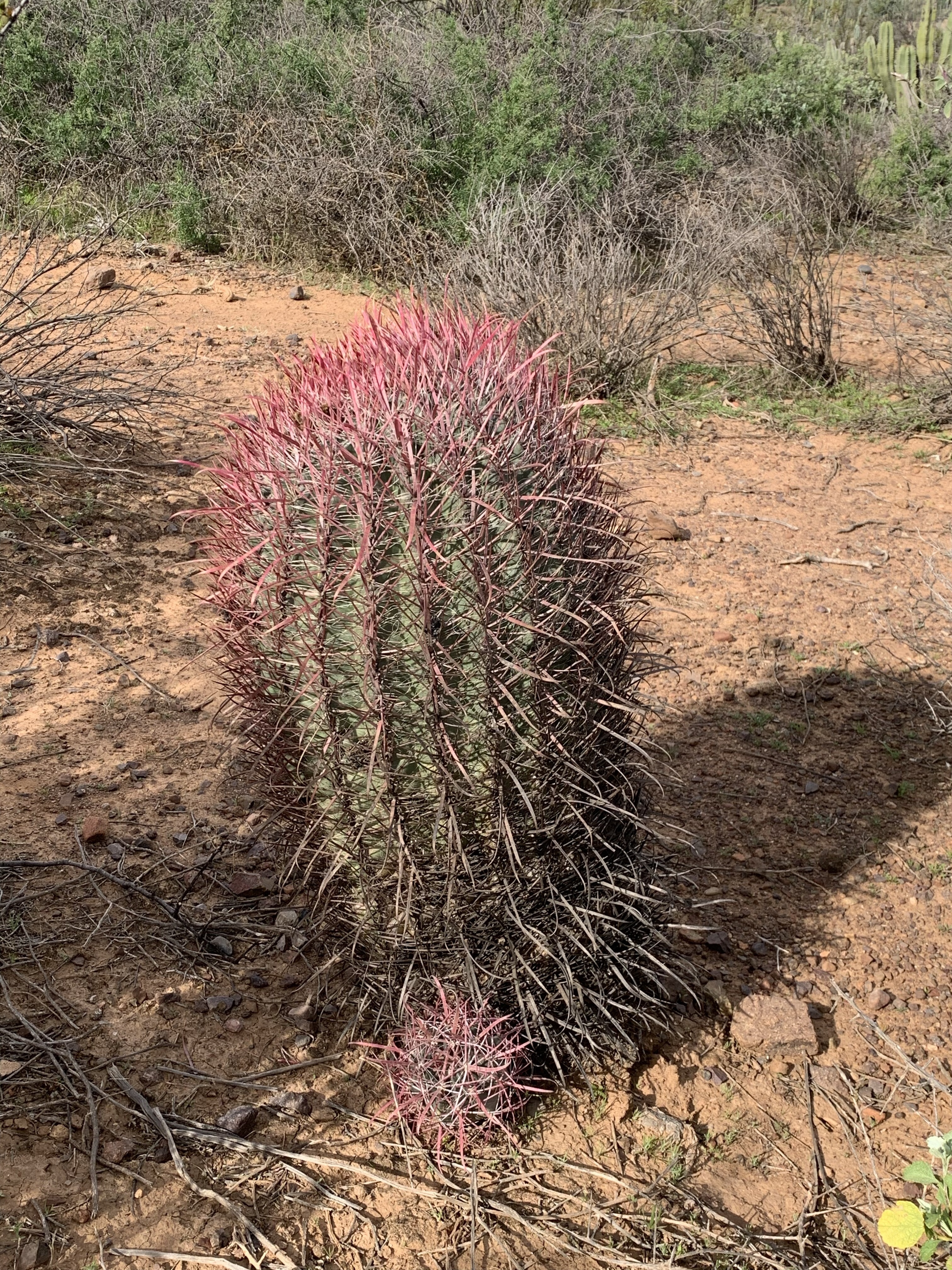
We were up and eating breakfast on the beach around 8:30 am and we saw a large pod of dolphins surfacing around the island. So we quickly finished breakfast and paddled the kayak towards the island. However, by the time we got to the spot where the dolphins were, they were twice as far away. We kept paddling, but we could not get close to them. We did see a small motorboat that got in the middle of where they were playing, and stay there for a while, but we were not that lucky. There were a lot of other kayaks out there chasing the dolphins also. We stayed near the island and watched the pelicans diving for fish and looked for fish ourselves. We saw a lot more sea life that morning. There were a lot of colorful fish and we saw several stingrays. The stingrays were about 18-20 inches in diameter.

The rest of the day was sitting in the sun or shade and watching the water. For lunch Tino had bought a bag of jumbo shrimp from a vendor, so he cooked them up in garlic and butter. They were pretty good. Eva even ate 1/4 of one. After our afternoon siesta we walked over to the restaurant to get a drink and use the WIFI. The WIFI connected good, but the internet was too slow to do anything, so I was unable to update the blog. After a while everyone was over at the restaurant so we decided to eat dinner. Eva had tostadas and I had a chicken quesadilla.

The next day we decided to get out early and try to see the dolphins, so we left shore at 7:30 am, just as the sun was rising. But no dolphins that day, but we did see a lot of fish and stingrays. After 3 days at Santispac, we decided to move further south down the coast to Loreto.

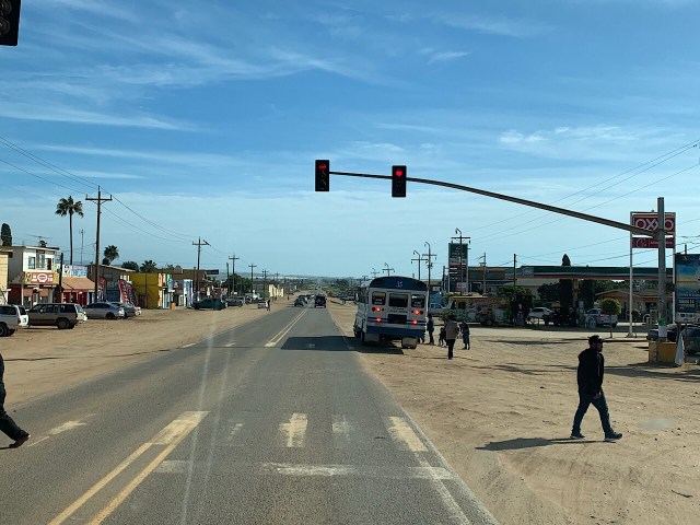
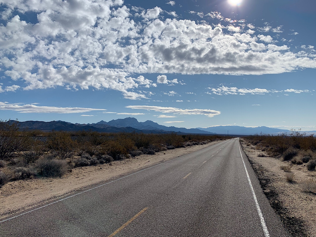
It was about a 40 mile drive to Loreto. About halfway there we came upon an accident, but it was not too bad, so after confirming everyone was alright, we continued to Loreto. Given the road conditions and the way everyone drives, I am surprised we don’t see and accident every 10 miles.

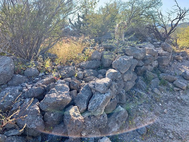
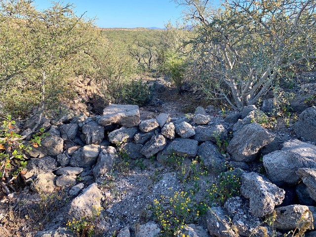
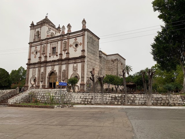
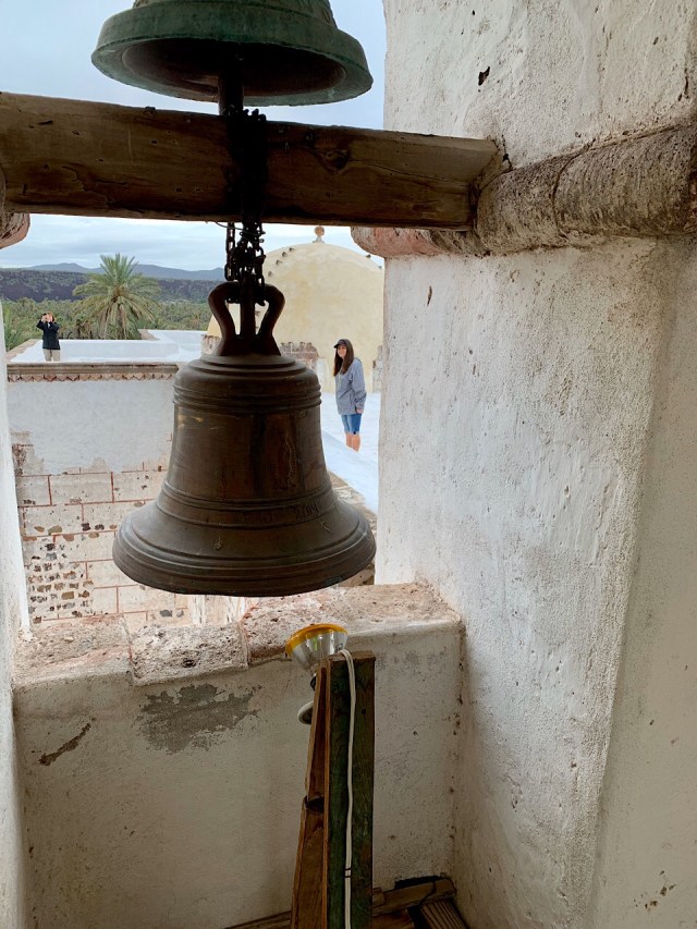
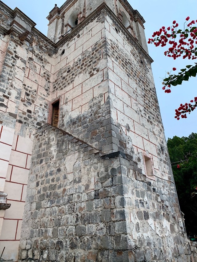
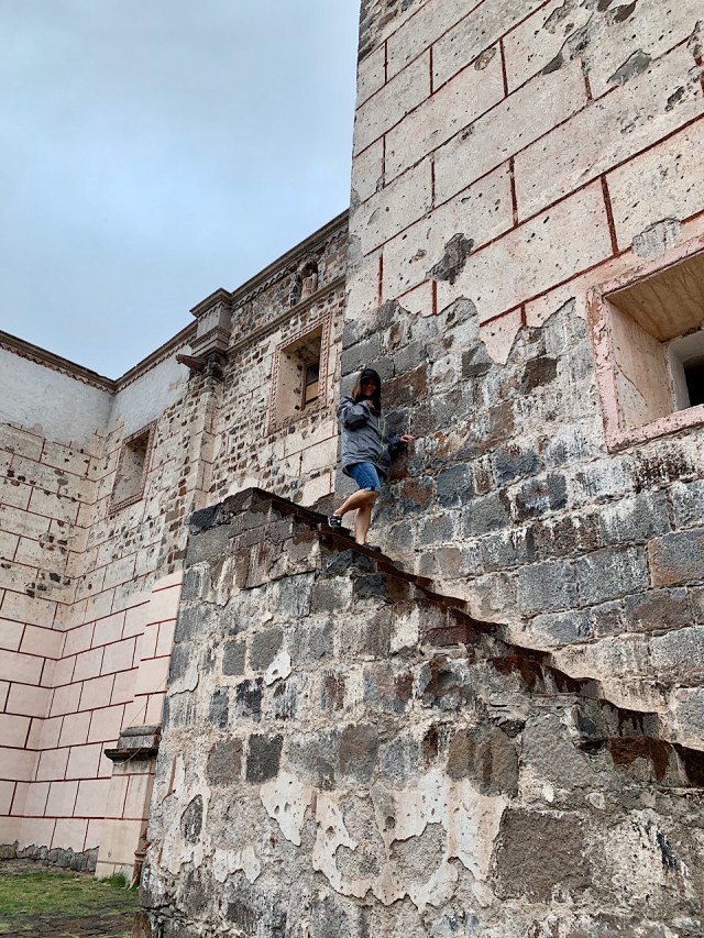
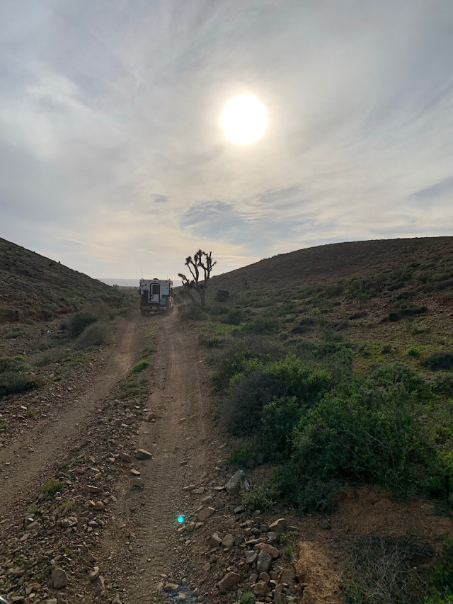
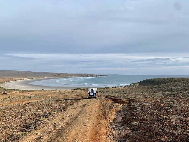
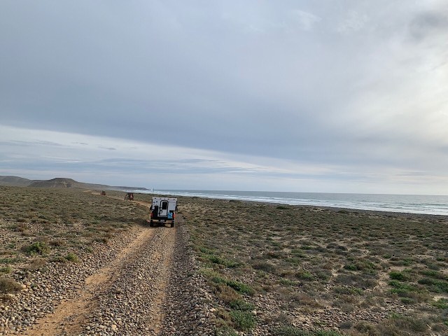
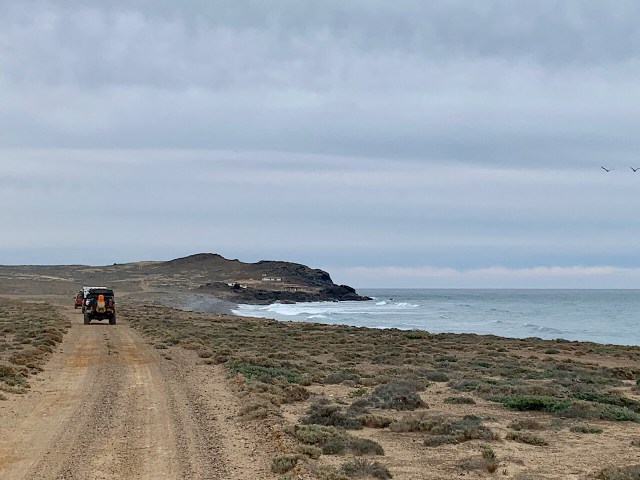
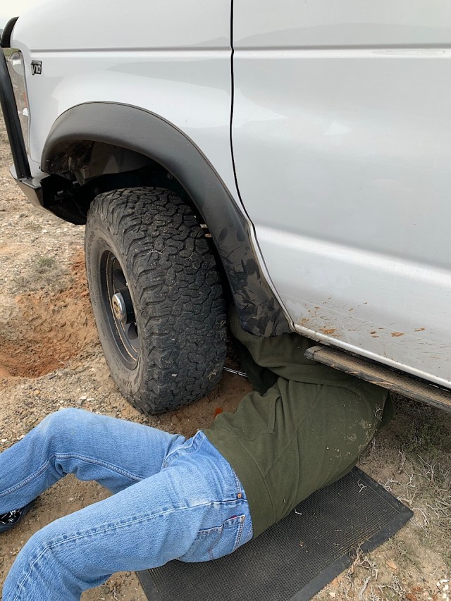
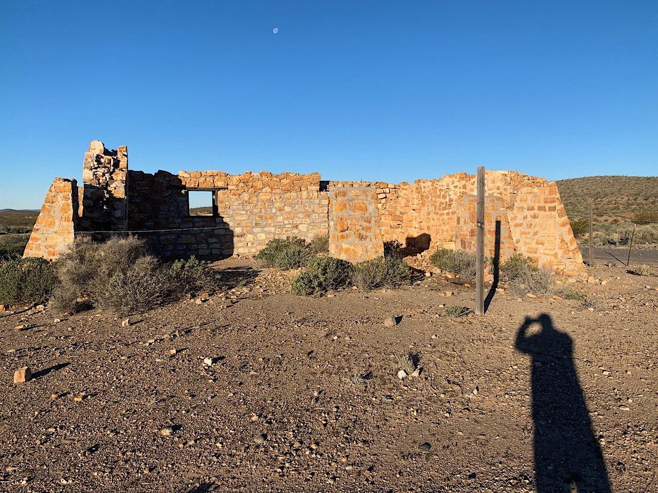
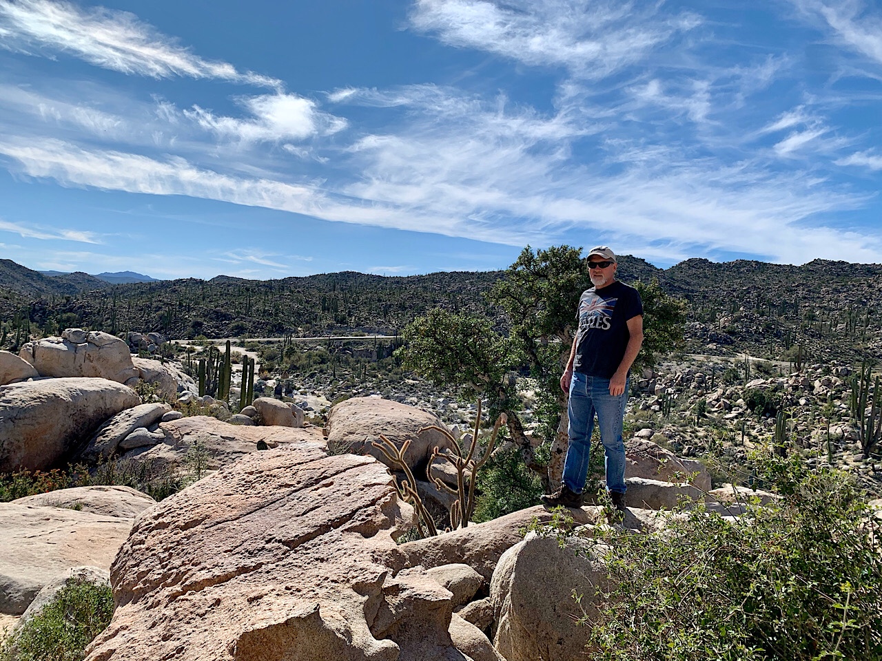
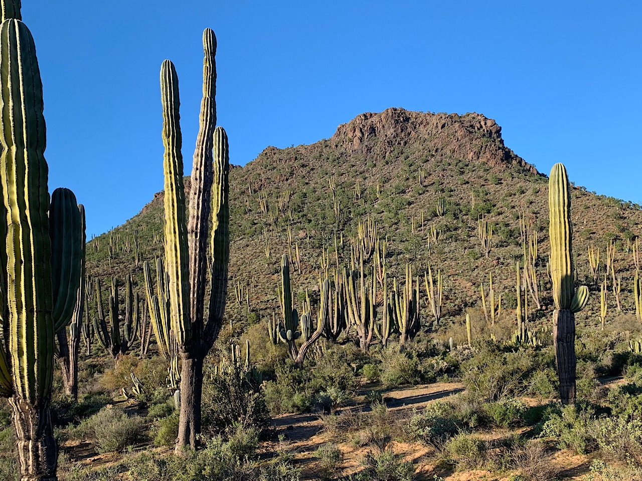
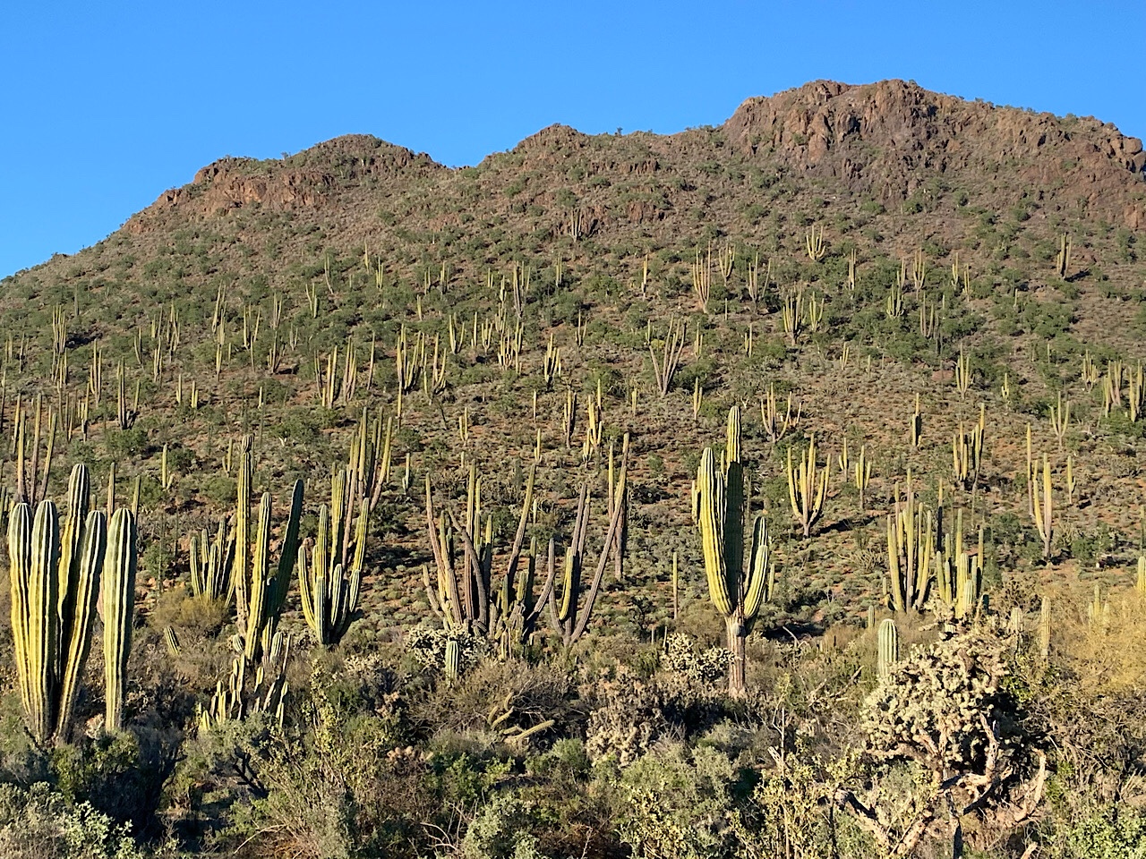
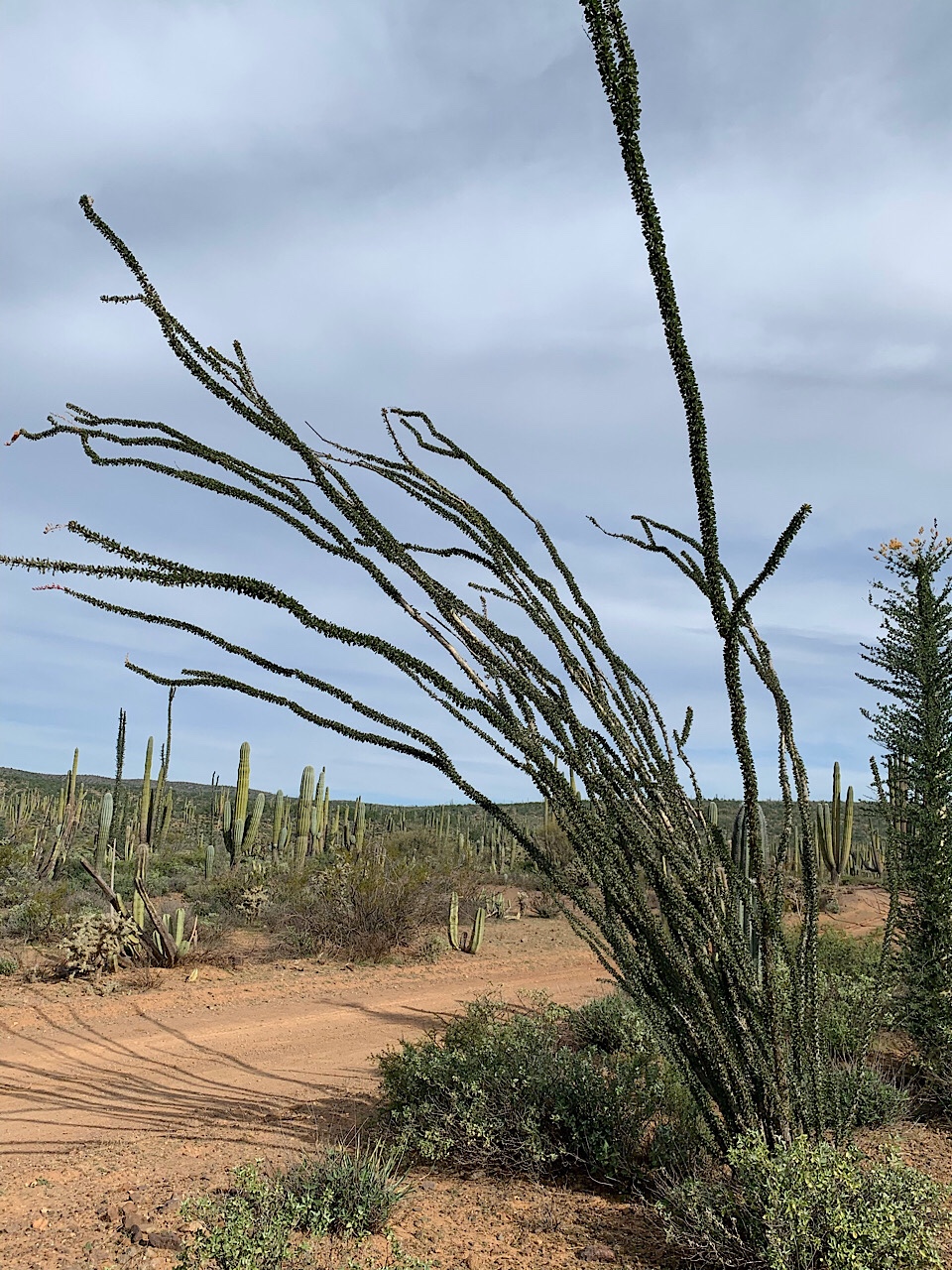
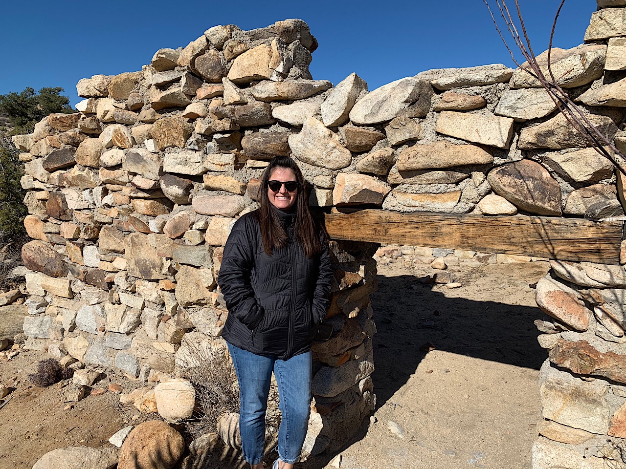
Just before Loreto someone suggested to drive to the ruins of San Bruno, a 16th century Spanish mission. It was only occupied for a few years, until they built the mission in Loreto, where there was better fresh water. We turned off the highway in a wash and followed the dirt road for about 5-6 miles. The road was not too difficult, but the branches and brush made it a narrow road with little clearance for our big van. The upper half of the van was scratched and scraped by the branches and leaves. We finally made it to the end of the road, and then we had to hike 1/4 mile through the brush to the top of a hill where the ruins were. There was not much left after 400 years except the walls that were a foot or two high. After looking around we drove back to the main highway. Our little detour took us about 3-1/2 hours so we did not get into Loreto until after 5 pm.

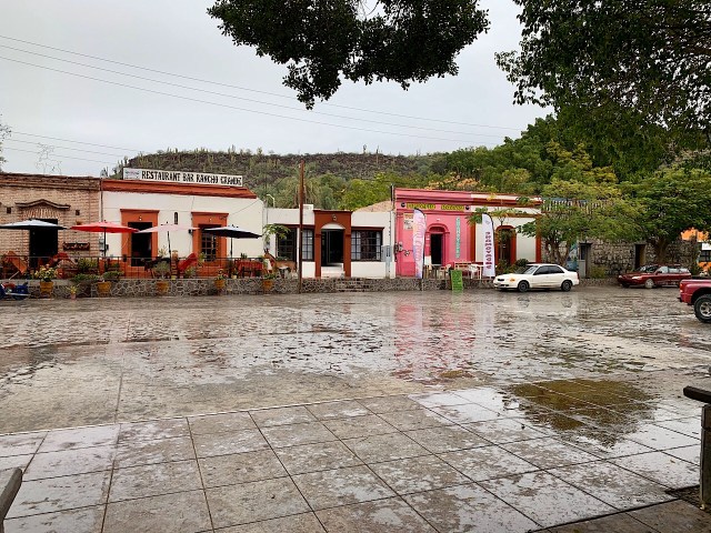
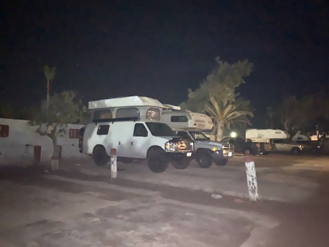
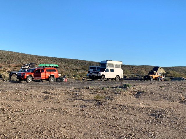
Jim and Gail had skipped our side trip, so they saved us the last 6 spots at Rivera del Mar Campground. It was a pretty nice place with nice hot showers. After showering Eva and I walked downtown with Jeff and Wendy to eat dinner at one of the local restaurants. It was pretty good, we made it back to camp at 9 pm.

San Ignacio, Mulege, Bahia Concepcion

Jan 21, 2020

We had a plan to go see the whales and their calves in the bay just west of San Ignacio. The campground owner would drive us the 90 miles in his van, and then another company would take us out in boats. But it was a soft rain when we woke up, and around 8 am Manuel, the campground owner, said he called the bay and it didn’t appear that the whales were out this morning, so we decided to wait and see the whales on the way back. It is more likely to see the whales later in January or early February.

After packing up we drove into town to see the Catholic mission and town square. The mission was finished in 1786. Most of the group ate breakfast in a restaurant, but Eva and I had already had breakfast. So we walked around the town square. Eva also talked to her sister and dad.

From San Ignacio we drove to the east coast of Baja and drove along the Sea of Cortez. We stopped in the town of San Rosalia to look at the ruins of a copper smelting plant and everyone went to the bathroom. We also drove through the town, but it was so small and crowded we did not find a place to park.

We continued down highway 1 to Mulegé. The town has a large arch entrance to the old part of town. We parked outside the entrance and walked into a small grocery store. They didn’t have anything we needed, so while the others shopped, we drove to another part of town and bought some water, and filled our tanks with 10 gallons for $280 pesos ($1.60 USD).

By the time we left Mulegé it was about 3 pm. Our campsite that night was on the south end of Bahia Concepcion. Concepcion is a huge bay that starts near Mulegé and is about 10 miles wide and 30 miles long. There were several beautiful commercial campgrounds just off the road, but they were all pretty crowded. We continued around the south end of the bay and found a deserted beach where we set up camp. Later, after it was dark, the beach lit up with the luminescence algae. With every wave a blue light flashed along the shore where the water hit the sand. We also through handfuls of small rocks into the water and it was like neon blue fireworks in the surface of the water. It was pretty cool to see, but we could not get a picture to take as it was too dark. We ended the night with our usual campfire.

Jan 22, 2020

Today we stayed on the south shore of Bahia Concepcion. It was sunny all day, but there was a stiff wind off the bay. The wind was strong enough that we didn’t take out the kayaks. So we just hung around camp and read and talked. A few of us shared some food for a light lunch for the group. The winds were strong all day, so later we all decided to move the next morning. We hope to find a better place on the bay that would not be so windy.

Guerrero Negro, Baja California Sur

Jan 17, 2020

We left Punta Lobos at 9 am and continued on the dirt roads, south along the coast. The roads were slightly better as we were closer to civilization. Some spots were smooth enough to hit 30 mph, so it felt like a freeway. We had about 30 miles of dirt until we hit pavement near the town of Santa Rosalillita. This was a fishing village of maybe 80-100 buildings. We wanted to get gas, but the gas was 100 pesos/gallon (about $5.32 USD). So we passed on the gas there and continued down the paved highway to Villa Jesus Maria and filled our gas tank with $4/gallon.

We crossed the border into the state of Baja California Sur (south), just north of Guerrero Negro. We also got cell phone reception so Eva called her dad and the kids. We arrived in Guerrero Negro about 1 pm and found a hotel/campground. The rest of the group stayed in rooms, but we camped behind the hotel in their campground, which was just a parking lot.

After checking into the campground, we started our quest to find the a bolt to fix our brake. There are a lot of auto parts stores, but no one had that bolt, or anything close. We drove back and forth along the main road, as each store would send us another place. We must have stopped at 5-6 different places. Finally we found a shop, Chepe’s Auto Repair, who could make a new bolt out of another hardened bolt. But it wouldn’t be done until tomorrow. I had to pull a bolt out of the other brake caliper so he knew what to make, so we were now driving with 2 bad brakes. Eva became an expert on talking about brake repair in Spanish. She did a great job.

It was getting dark, but we went to the SuperMarcardo to buy some groceries. The store was a cross between a small Costco and a supermarket. They had a lot of food available so we stocked up. We also bought 5 gallons of water to fill up our water tank. Later in the evening, we met with the group for dinner in the hotel restaurant. Eva and I had eaten our lunch so late, we just had chips and guacamole.

Jan 18, 2020

Eva and I got up early so we could get to work on fixing the brakes. At 9 am we drove to Chepe’s shop, and after a few minutes he produced the new bolt. It was pretty close to what we needed. The non-threaded shoulder was a little longer than what we needed, but I think it will work. We paid $400 pesos ($21 usd) for the bolt and $300 pesos ($15 usd) for a tube of loctite to glue the bolt in place, so it will not come out again. It was a little expensive to have the bold machined, but it was our only option. It was probably the same cost of buying it from a Ford dealership.

We took the bolt back to the campground, where there was concrete to work on, and I put everything back together. It feel good to have two good front brakes again.

We didn’t leave the campground until about 10:30 am. We drove further south on highway 1. We topped off the gas tanks in Vizcaino, and turned west, off highway 1, to the road that will take us to Bahia Tortuga and Bahia Asunción. The road was pretty new and in good condition, so we were able to drive pretty fast.

The town of Bahia Tortuga was big enough for a couple of gas stations and store, but all the roads were dirt and narrow. We drove through town and the locals stared at our large caravan of vehicles.

Bahia Tortuga

After driving through town we backtracked and drove down a dirt road to the beach to find a place to camp. A few miles out of town we found a remote beach on Bahia Clambrey. Every beach we have stopped at has been different. This beach is very flat and has fine hard dark sand. There is very little debris on the beach. Pretty much no shells or rocks. It is so flat that the tide moves the water line at least 150 ft. Later in the evening, Eva and I walked about 1.25 miles up the beach to where the cliffs were. By the time we walked back it was pitch dark, but the beach was so flat, that we walked without worrying about tripping on anything. Once we got back to camp and ate dinner, everyone was tired, so there was no campfire.

Jan 19, 2020

Today was a down day at Bahia Clambrey. We didn’t get out of bed until 8 am and we just hung around the beach and camp for the day. In the morning we did start a fire and everyone burned their trash. Eva and I read books and even took a siesta in the afternoon, just like real Mexicans. Later that evening we had a campfire.

Lost Coast of Baja

Jan 14, 2020

We were up and moving around 7 am. Since the sun sets so early in the evening, the sunrise is pretty early in the morning. Eva made pancakes for breakfast and we hung around camp for a while and burned our trash in the remnants of last night’s fire. In Baja the rule is you burn or bury your trash. This is to reduce the amount of trash collecting everywhere. Near the cities and towns you just see trash everywhere on the ground, but in the backcountry, there is not as much. We still find it near the road, and occasionally we passed a trash heap that a fish camp or ranch used, but it was not too bad.

We continued on the dirt road from Catavina to the coast. It was pretty rough and the going was slow. The road continued over several mountain ranges, and we kept expecting to see the coast, but there was just another mountain range. We passes a drug smuggler runway where the government had dug ruts across so the smuggler’s planes couldn’t land. The road was not real difficult, but was just rough enough that we could not go faster that 5-10 mph. Finally around lunch time we saw the Pacific Ocean. We pulled into an empty fish camp that sat above the beach. The beach in this area was made entirely of cobblestones. I have never seen a beach like that. It was very steep and the stones were about the size of a grapefruit. It was very interesting. We ate lunch at this beach and then continued down the road.

Smugglers Airport

Frenchie, our guide, has driven this road, but in the opposite direction, so he was a little unsure how far we were from Bahia Marron, (Bahia is Spanish for bay) where he wanted to camp that night. The road followed the coast, but was still pretty rough. Frenchie said it was the roughest he had seen, so our progress was slow. We drove for another 3 hours, but were still 45 miles from Bahia Marron. Since everyone was tired we stopped at a beach north of Bahia Blanco. We were near the beach, but behind some sand dunes, so we could not see the ocean, but we heard it all night long. It must have been windy on the ocean because the waves were crashing and it was like living next to a train track. But at camp it was not winding and after dinner we enjoyed the evening talking with others. Again, it was cold once the sun went down, so we were in the van by 8:30 pm and went to bed after 9 pm. Even with the noise of the waves, I slept pretty good. I set the furnace at 55 deg and it kept us from getting too cold at night.

Jan 15, 2020

Today was another full day of traveling the road that takes along the Lost Coast of Baja. It is named that because of the remoteness of area. The road we are on is the only one that access the area. We are traveling a lot slower than Frenchie expected, mostly because of the roughness of the road, but also because we are a bigger group. There was a hurricane about 18 months ago and it had left the roads in bad shape. There must have been rains earlier this month because there were sections of mud that we had to find our way around.

Camp 3

Bahia Blanco

So far, we are the only ones who have been stuck. The group ended up going the wrong way on a trail so I backed onto a grassy area to turn around and the rear tires sank into the mud. I had to put it into 4WD to get out.

We had left camp around 9:45 am and by noon we were a little anxious about not being at camp yet. So at 3 pm we camped just south of Punta Lobos, which is north of Bahia Marron. We were camped behind the dunes, just off the beach. Eva and I walked the beach and she collected some shells and sand dollars. I found a live clam and we took it back to camp and pried it open. We had never seen one before, and it was difficult to open, but with a couple of screwdrivers, I was able to open it. I could not get Eva to eat it though.

We had beef stroganoff for dinner that Eva cooked in the Instapot. Later in the evening we had a good campfire and we spent the evening around the fire until about 9 pm. As we were putting out the fire, we saw lights from a boat signaling someone on shore. Next we saw lights from the hill just south of us signaling back. After 15 more minutes we saw a truck traveling down a road, shining a spotlight from side to side. They came within 1/4 mile of our camp. Frenchie had us turn off all the lights so they could not see us. We all assumed they were drug smugglers, but they could have been just fishermen. But drug smugglers sounds more exciting.

We started to have some problems with our driver side front brake the day before. I could hear it rubbing whenever we were driving slow. I though that the rotor had a slight warp and that was the issue, however at camp later that evening I took a closer look. Somewhere we had lost one of the bolts holding the caliper in place. Fortunately the other bolt was still there. In the morning I will put some loctite on the remaining bolt and hopefully it will hold until we get to a town where I can find a replacement bolt. I am not too worried about driving, since the bolt has been missing for 60-70 miles of rough dirt trail. We only have 20 more miles of dirt until we hit pavement. I am worried about gas. It’s only about 40 miles to the next town, but if there is no gas there, the next town is 50 miles. I only have enough gas for about 80-90 miles, depending how rough the roads are. The good news is the road looks smoother from here on out.

Clam Beach

Jan 16, 2020

Today was a down day with no travel. We just hung around camp or walked down on the beach. I did what I could to repair the brake caliper. It will have to hold until we get to town to find a bolt.

Eva and I walked about a mile down the beach and we found live clams everywhere. Since Eva would not eat them, I broke open a few and the seagulls got an easy meal. Later in the day a group of 7 clam fishermen came and start gathering them from the beach. They each need to collect 35 dozen clams for the day. They then take them to Santa Rosalita to sell. Tino went to them and bought a dozen for 120 pesos. He plans on having clam for dinner tonight.

We all had showers in the shower tent, so everyone feels clean. Everyone but Deb. She took a dip in the ocean to get clean. She said it was warm, but since she was from Canada I don’t know I can trust her on that. It was probably warm for her.

For dinner, Eva made Chicken Pasta Alfredo. It was good as usual. Most meals we end up with enough leftovers for another meals, so she only needs to cook every other day. Later that night we had another campfire.

El Marmor Onyx Mine

The El Marmor Onyx Mine is an abandon open pit mine from the 50s/60s. The onyx was hauled by truck to the Baja coast where they would load the rock into small fishing boats and then use the small boats to transport the onyx to a large ship. The ships would then take the onyx to California to be cut, polished and sold. At the mine there is the ruins of an old school house that has 3 foot thick walls made of onyx. There is also an open well and ruins of other buildings. Our camping spot was at 2200’ elevation, so it did get a bit cold at night.

We left the mine at about 9:45 am, after letting some air out of the van’s tires. When we travel on the highway I keep the tire air pressure at 60 front/80 rear. This is the recommended pressure for the weight of our van. It is good for the highway, but is very stiff and rough if there is a rough road. When we are on dirt roads, if we lower the pressure, the van will ride much better, especially on wash-boarded roads. At the mine I lowered the pressure to 40/55 psi.

With lower tire pressure the ride back to the highway was a little smoother. Once on the highway we continued south east across the Baja peninsula. The main highway is highway 1. It goes along the coast from Tijuana down to El Rosario, and then it turns east and heads towards the Gulf coast. Our camp was not quite halfway across the peninsula. About 10 miles from where we got back on the highway, we stopped at a cave that had some pictographs in a small cave. It was about 1/4 mile walk from the parking area to the cave. We also met a young couple that was traveling Baja in a van. They were from Springdale, UT, down by Zions NP.

Frenchie Telling the History of the Area

Most of the Group

Starting at the cave we entered a Mexico national park. It was a scenic area of granite boulders and lots of cacti. It was quite pretty. There are many varieties of cacti that we have not seen before. It is a little too early to see the flowers bloom, but it was interesting to see all the variation in the plants. There are a lot of Cardon cacti that are 50-60 feet tall, and from a distance it looks like a forest of pine trees on the mountains, but they are cacti. We learned that a 50’ Cardon cactus is probably 500 years old.

We stopped for lunch in a small town called Catavina. There was a very nice hotel out in the middle of nowhere. The restaurant was more expensive than our lunch the day before, but it was a full sit-down restaurant. Eva had a beef taco plate and I had avocado stuffed with shrimp. Both meals were very good. It cost about $18 for both our meals. There was a small grocery store across the highway and I ran over and bought some bananas.

After lunch we backtracked about 3-4 miles and turned off the highway into an arroyo. An arroyo is Spanish for a dry wash. We lowered our tire pressure again as we were going to be on dirt road for the next 3-4 days. I lowered them to 32/45 psi (cold). After a few miles in the arroyo, we joined up with at dirt road that was not too rough. This dirt road would take us south-west, across the peninsula to the Pacific coast. This road took us through the mountains and the cactus forests. We drove for about 2-1/2 hours until we stopped for camp.

Night 2 Camp

After setting up camp we collected dead cactus skeletons for firewood. I thought this wood would burn too fast, but it was amazing how well the fire burned. The skeletons were a very hard fiber, and were very dry. It burned long and hot. Since they were so dry, there was very little smoke. We sat around the fire that night and talked. We also learned a new trick. This wood made very nice coals, so we put a shovel full of coals beneath our chairs, and that worked real well to warm you, from the bottom up. We were in bed around 9:30 pm.

Cardon Cactus

Cholla Cactus

Cero or Bujum Cactus

Ocotillo Cactus

Barrel Cactus

On to the Motherland (According to Eva)

We were out of bed at 4:30 am and left Jenny’s house by 5:00 am. We needed to meet our group at the Denny’s in Chula Vista, California by 5:30 am for breakfast. During breakfast we met everyone and talked a little about the trip. At this time there are 6 vehicles starting the trip. It is likely that 3 more will join us during our travels.

Frenchie is the group leader and he is driving a Toyota Tacoma with a shell on the back. He used to own a company that lead 4×4 tours through Baja. He said he has been to Baja over 60 times, starting when he was 8 months old. Now that he is retired, he still comes down multiple times a year, but it is more for fun, not a business. He left his wife home in New Mexico, so he is traveling alone.

Tino is from Downey, CA, but is originally from Guadalajara, MX. He had a silver Jeep with a tent on top. Jim and Gail drive a truck with a pop up camper. They have traveled the farthest to get here. They live in Ontario, Canada and drove for 5 days straight to get to California.

Kevin and Debra are the other Canadians, but the only had to drive from Calgary. They have a Chevy van that they have converted into a campervan. And finally there is Jeff and Wendy. They are from Washington, but are now living full time in a RV. They left their RV in Arizona and are driving their Jeep on this trip.

This image has an empty alt attribute; its file name is img_4288.jpg

At the border

This image has an empty alt attribute; its file name is img_4299.jpg

Entering Mexico

This image has an empty alt attribute; its file name is img_4298.jpg

We arrived at the border around 8 am. Crossing the border was not difficult. There were only a few other cars when we arrived. They first directed us to the X-ray line. This is where you park your vehicle on a large X-ray machine and they X-ray your vehicle. Next we parked and went inside to get our visas. This is where we had a problem. We had applied and paid for our visa online before we left home. However, I left the receipt home, so in the end we had to pay $30 again to get our visas.

From the border it was a quick drive along the Mexico side to the toll road that would take us to Ensenada. Since it was a toll road, it was in pretty good shape, and almost no traffic in the morning. The area in Tijuana was very crowded and most building were not in great shape. As we got to the coast, there were a lot of nice homes, condos and hotels. It was like this all the way to Ensenada.

This image has an empty alt attribute; its file name is img_4291.jpg

This image has an empty alt attribute; its file name is img_4290.jpg
Trump’s Wall

This image has an empty alt attribute; its file name is img_4301.jpg

Once we arrived in Ensenada, we are our first stop at a grocery store for everyone to pick up what else they needed. Eva and I drove another mile and stopped in a Walmart/Home Depot plaza to get a SIM card for her phone. This will give her a Mexican cell phone number. For unlimited calls and 8 GB of data it was $330 pesos, or about $17 US.

We continued south from Ensenada along highway 1. As we traveled south, there was a lot more agriculture along the coast, and the roads got worst. There are times where the road was pretty smooth, but it was mostly rough asphalt. Also, south of Ensenada, the road was winding and narrow, with no shoulder. This made it a little scary passing semi trucks and other big vehicles.

This image has an empty alt attribute; its file name is img_4292.jpg

This image has an empty alt attribute; its file name is img_4293.jpg

We stopped in San Vicente for lunch at a small restaurant. We each got a beef burrito for $1.60 each. Our next stop was in El Rosario for gas and then we continued on to the El Marmor Onyx mine site for our camp. This abandon mine site was 15 KM of dirt road from the highway. It was dark by the time we arrived, so we quickly set up camp and made dinner. Once the sun went down it got pretty cold. We did stay outside for a while, but by 8 pm everyone when into their vehicle for the night. We had an early start that morning, so we were pretty tired and were in bed by 9:30 pm.

This image has an empty alt attribute; its file name is img_2968.jpg

El Marmol Campsite

On our Way to Mexico

The plan for our Baja trip is to meet the rest of our group in Chula Vista, CA, which is south of San Diego near the border. The plan is to meet them at 6:30 am on Sunday to cross the border as a group. We decided to leave early for two reasons. One is so we can take our time and see the sights on the way to California. The other reason is to miss the storm that was forecasted to hit Utah.

We left on Wednesday morning, January 8, 2020 around 9:30 am. The storm was predicted to hit later in the day, so it was cold, but dry as we headed south on I15. It was an uneventful trip to St George. It was nice to stop in St. George to gas up, and to feel the warm sun. We gassed up at Costco and ate lunch at Cafe Rio. Eva has some credits at Cafe Rio that would expire before we came back, so we got our lunch, and then ate the leftovers for dinner. We also stopped at 4 different stores (2 Walmarts) looking for the large bags of Pretzel M&Ms. They are the snack that keeps me awake while driving. We finally found what we wanted in the Walmart in Bloomington.

We spent the first night just outside of Valley of Fire State Park, about 20 miles north of Las Vegas. There was a pretty nice spot in a small valley about 1/4 mile off the road. We were alone all night long and didn’t even hear any traffic on the road.

We considered going into the park, but by the time we got going in the morning, we decided not to spend time there. We will save that for a future trip.

We left camp at 10 am and continued to Las Vegas. We found another Costco and topped of the tank and then we headed to Walmart to pick up a few things. At this point in the trip we have spent more time in a Walmart, than in the outdoors. We needed to pick up a few more things before we enter into Mexico.

After the last Walmart, we headed out of LV and continued south on I15. Just inside the California border, we left I15 and drove through the Mohave National Preserve. The Preserve is not as developed as a National Park, but had a lot of pretty scenery. I think it would be a lot nicer in March as the wildflowers and cactus may be blooming. We stopped at the Kelso Depot in the middle of the preserve. This is a restored Union Pacific depot that now serves as a visitor center and museum. They had a lot of railroad displays in the museum that reminded me of my time working as a gandy dancer for Union Pacific in Nevada.

We ate lunch at the museum and then drove to the Kelso Sand Dunes. These are some of the largest sandy dunes in the country. We didn’t spend a lot of time as Eva didn’t feel like hiking up the dunes.

The rest of the drive through the Preserve was pretty, but again, I think it would be really nice in the spring. After exiting the Preserve we crossed under I40 and continued south across the desert to Amboy, CA. There is not much in Amboy so we continued south looking for a campsite. It is dark by 5 pm, so we only went about 20 miles south of Amboy to find a campsite in a small corner of the Sheep Hole Mountains. We could still see and hear the road, but there was not much traffic during the night. The elevation was 2300’, so it was warmer than the night before, but a bit more windy.

Friday we were on the road by 9:30 am and continued south along the backroads of the California desert. We stopped at the Joshua Tree National Park visitor center in 29 Palms and Eva had to buy her national parks patch. She started collecting the patches during our trip to Oregon last year. We drove through the park and stopped at a few viewpoints. We took the dirt road to Desert Queen Mine and did a short hike.

After the hike we continued south through the park until we left the park and came into the Salton Sea Valley. Our campsite that night was 243 feet below sea level on the west shores of the Salton Sea.

,

Moonrise over Salton Sea

Sunrise over Salton Sea

The Salton Sea is a shallow, saline lake located in the California desert in the Salton Basin, a remnant of prehistoric Lake Cahuilla. The Salton Sea was created by accident in 1905, when water from the Colorado river spilled out of a poorly-constructed California Development Company irrigation system. The lake grew over the next two years, until workers were able to staunch the massive flow. By this time, a 400-square-mile body of water had formed on the Salton basin in southern California. They called it the Salton Sea.

There was an abandon RV park on shores of the sea that had several campers, but we drove through the RV park and out on to the sandy beach area. We were all alone on the beach for the night. It was probably our best camping spot so far. We watched the sun set and the moon rise over the sea.

The next morning we got an early 8 am start and continued towards San Diego. We stopped in Borrego Springs to look at the desert sculptures that are spread through the town. There are about 130 large welded steel sculptures that were created by an artist and are available for any one to enjoy. The largest is a sea serpent that is 350 feet long and passes underneath the road.

It was a windy road from Borrego Springs to the I8 freeway and then it was 40 minutes to Chula Vista. We stopped at Costco for gas and to exchange some dollars for pesos. We then drove to our niece’s house to take a shower, do some wash and spend the night.

We Head South

Jun 30, 2013

It was Sunday and time to drive south back towards Anchorage. We slept in this morning and left Fairbanks at around 11:00 am. It took us about 1/2 hour to fill with water and find a dump to empty our tanks. We drove to Nenana to go to church, and arrived about 11:45 am. This is a small town 58 miles south of Fairbanks. We got there early so we could change into our church clothes. The church was in a small building on the main road into town. It looked like they only used half of the building. We walked up to the door at 5 minutes before noon and the doors were locked. We thought that maybe it was stake conference, so we got back into the motorhome and drove around town. We came back about 10 minutes later and we saw a couple of cars pulling up to the building. It looks like they were a little flexible on starting times.

The branch consists of one large extended family and a couple of others. One of the kids from the large family was getting married in Utah, so about 15 members of the branch were in Utah. Besides us, there were another couple that was visiting. So counting the visitors there were 17 of us there. Only 11 were ward members and it was mainly a large family with 5 young kids. The branch president was fishing, so his father conducted. They had an abbreviated schedule because so few were attending. We had sacrament and Sunday School combined. The Gospel Doctrine teacher is a cop and did not show up (they thought he may be working on the fires), so we had the youth lesson given by the branch president’s wife. She also played the piano. Hannah led the singing and Zac passed the Sacrament. We also provided the bread for the Sacrament because they had forgotten it. It was an interesting meeting. I think they were embarrassed because things were a little unorganized because 1/2 of the branch was missing. We left after Sacrament/Sunday School so we could get on the road.

We still had 300 miles to go so we drove straight through except for a few rest stops and to eat lunch and dinner. It was really windy for the first 150 miles and then it rained the last 150 miles.

We ended up camping in a Fred Meyers parking lot just outside of Anchorage. Camping at Fred Meyers is very popular and the stores have a large section dedicated for camping. The two times we stayed there it was pretty quiet and safe.

Jul 1, 2013

Today was our last day in Alaska. It rained most of the night and it was about 55 degrees for most of the day. We got up and everyone showered. We left Fred Meyers around 9:15 am. The first task was to fill the gas and propane at a station in Anchorage. Next we dropped off the motorhome and cleaned out our gear. That took about 45 minutes. We had driven about 1370 miles over 10 days.

The shuttle driver took us to the airport and we flew home without any problems. Alyssa, Hannah Thorne, Kiera and Andie came and picked us up. It was about 95 degrees at 8:00 pm and the rest of the night was hot.

This was a very fun trip. We we’re able to see things that I have wanted to see for many years. Using a motor home was very nice because we always had our gear with us and could make our lunch whenever we needed to. We also were able to stay somewhere different most every night. The only camping reservations we made were in Homer and the campground in Denali. The only disappointment was not seeing the summit of Mt Denali.

As Far North as We Go

Jun 29, 2013

We got up, but not too early, and we all showered in the RV. We left Denali at around 10:00 am, but we did not get to Fairbanks until 1:30 pm. There was a delay for construction, and then we stopped in Nenana to see were the church was located. We planned on stopping there on the way back south. Between Nenara and Fairbanks they stopped traffic and we followed a pilot car through the smoke that was caused by the wildfires.

At Fairbanks we went to Gold Dredge #8. This was north of Fairbanks a few miles. It was in a location where the entire countryside was dredged up for gold. I was a little worried about the cost ($40), but it was worth it. There was an old dredge that was left from the gold rush era.

There was a tour trolley that carried us around the area. They also talked about the Alaskan Pipeline, along with the gold mining in the area. The last stop was a covered pavilion where they had long troughs that were filled with water. We were given instructions in panning and then given a pan and a bag of sand and gravel that was salted with gold. We all panned our bag of gravel and found gold. After I was done with my bag, i scooped some sand from the bottom of the trough and found more gold that others had missed. After collecting our gold flakes we took our treasures to the assay office for weighing. Mine was $49 worth, Eva $33, Hannah $7 and Zac was $12. They didn’t pay us, but we were able to keep our gold.

We filled the RV with gas and then went to Pioneer Park. It was an old theme park that used to be called Alaskaland. But it did not make it as an a theme park, but they still let you camp there and walk through the old buildings. It was good for about an hour. The fires in the area were so back that the smoke just filled the air. It was also a very hot day, so we decided to go to a movie. We watched World War Z in 3D. It was pretty good.

After the movie we went back to Fred Meyers and got a few more souvenirs. We finally drove to Pioneer Park were we had paid $15 to camp in the parking lot. This was the furthest north that we camped and the sun was up until late in the night. We took a picture of us outside the motor home a little after midnight and it was bright enough for the picture without a flash.

Design a site like this with WordPress.com
Get started