The drive from Lassen National Park to Crater Lake National Park took most of the day. As we woke it was raining a bit, but stopped by the time we left our campsite. Again, we drove on the forested lined highways that are through much of northern California. It was a very beautiful with the thick trees and ferns. However, we are tired of the California gas prices. The price jumped to $3.77/gal in Lake Tahoe, compared to $2.63 in Nevada. While driving north to Crater Lake, we went 5 miles out of our way to save $0.70/gal in a town called Burney, CA. Once we got to Oregon, the prices dropped down to around $2.70/gal again.
We drove north past Mount Shasta, but it was covered in clouds, so we could not see much, but we did get a picture for Zac.

As we got close to Oregon, the forests went away and there were a lot of farms and ranches. We passed huge grain and hay farms, along with some vegetable farms. Closer to Crater Lake we saw a lot of large cattle ranches with huge flat pastures full of grass. The valleys between the hills were very flat and very green.
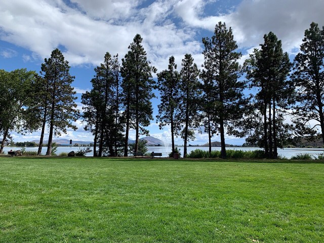
We stopped for lunch in Klamath Falls, Oregon. We ate lunch at a river front park and then went to Walmart to get more food and WIFI. We were expecting to find a nice park next to the Klamath Falls, but apparently the falls aren’t much to see.
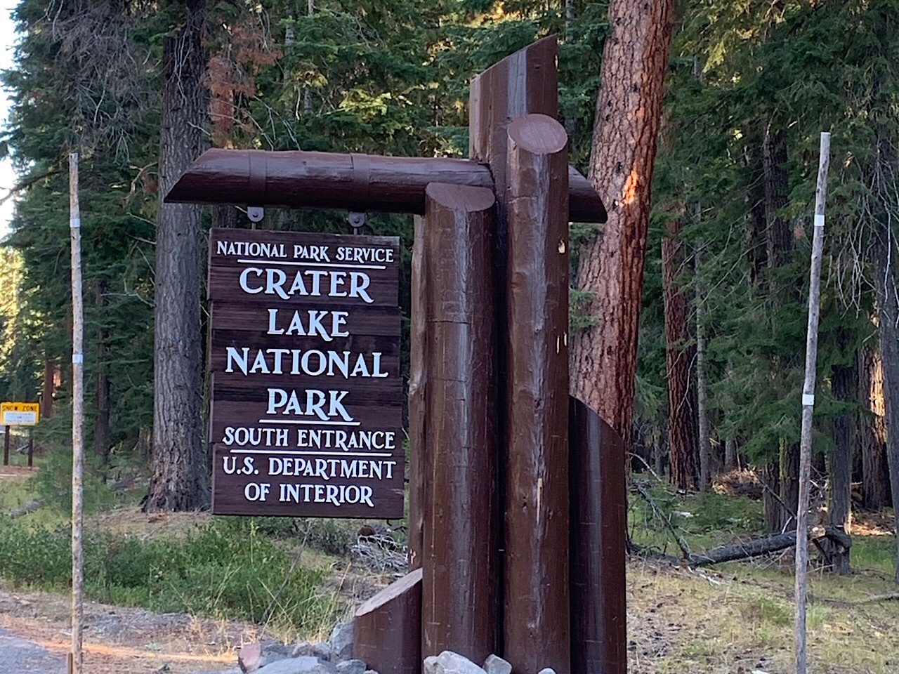
From Klamath Falls it was about an hour drive to Crater LakeNational Park. It was around 5:30 when we got to the park, so the visitor center was closed. But we stopped at the campground store and took showers. They have a very nice set of showers at this park.
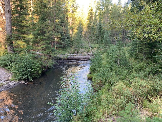
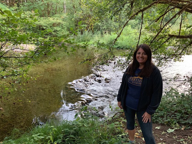
After showering we went back out of the park, about a mile, and found another great campsite in the woods next to Annie’s Creek. The creeks and rivers in Northern California and Oregon are very clear. Even at the deepest spots you can see the bottom. I think its because the soils have a lot of sand, not silt. Also the ground is covered by plants and pine needles. When it rains, the water doesn’t pick up a lot of silt or dirt that would cloud up the water.
 Eva made Bacon Ranch Chicken in the Instant Pot for dinner. It gets dark and cold around 7:30 pm, so after dinner we stayed in the van and talked and read the rest of the evening.
It was another great night. It wasn’t too cold when we went to bed, but it was cold in the morning. A few nights ago we started using the furnace that I installed in the van. It runs with fuel from the van gas tank. It also has a timer, so I can program it to start in the morning. That helps keeps it from being too cold when we get up. It has worked pretty good.
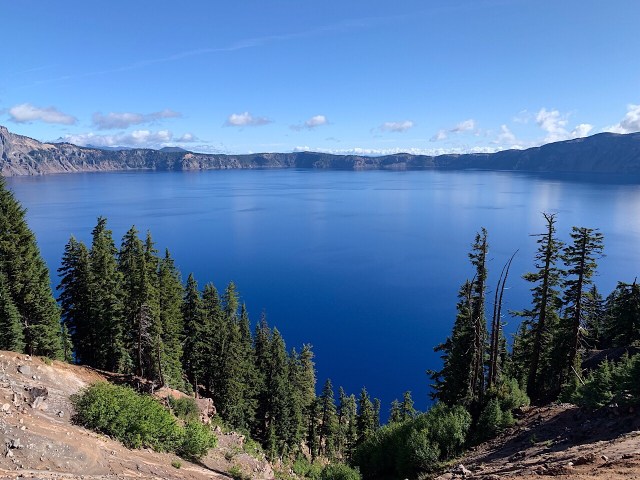
We stopped at the main visitors center when we got to the park in the morning. Crater Lake National Park is the fifth oldest US national park. It was founded in 1902. The crater was formed 7,700 years ago, after the volcanic magma flowed out of the caldera beneath the volcanic peak. With no magma, the peak collapsed and created the crater. The crater was filled by rain and snow melt to create the lake. There are no rivers or streams that can bring silt into the lake. So the water is supposedly the cleanest lake water in the US. It is also the deepest lake in the US at 1,943 feet deep.
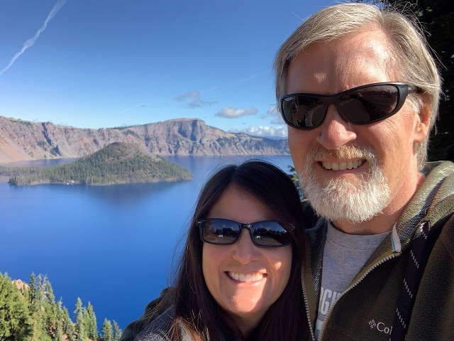
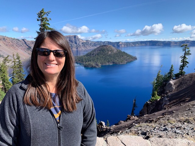
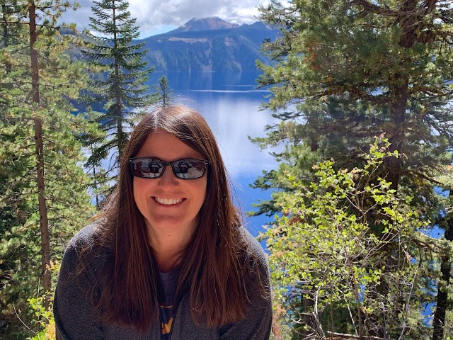
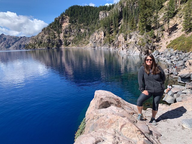
First we stopped at the Visitors Center and watched the movie about the park. It explained how the lake was formed. From there it is a 3 mile drive to the rim of the crater. This was our first view of the lake. We walked around the edge a bit and took pictures. We considered taking the trolley around the entire rim, but they were sold out.
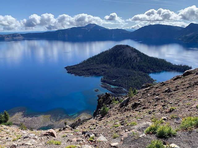
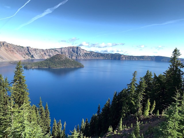
So we drove Rim Road to the viewpoints. About halfway around we arrived at the Cleetwood Cove Trail. This is the only way to get from the rim, down to the water. We didn’t plan to do the hike, but just to walk down to the first or second switchback to get a better view. But at every switchback we kept going. Finally we accepted that we were going down all the way. The trail is only 1.1 miles each way, but is 700 ft of elevation change. So going down was not bad, but coming back up it was pretty steep.
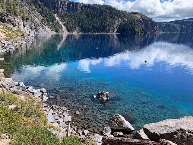

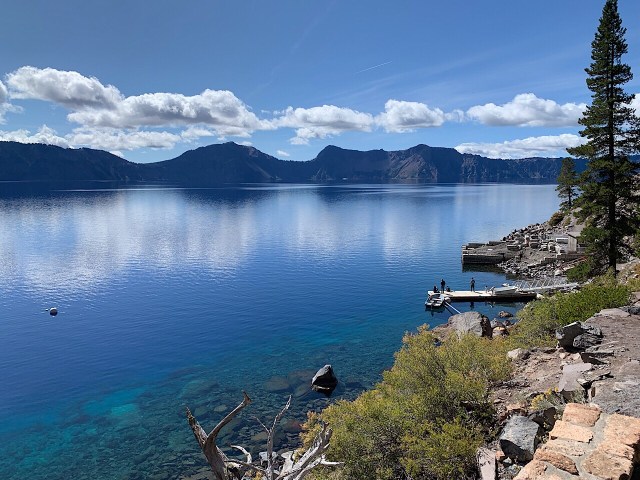
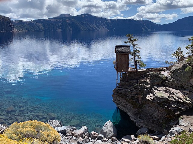

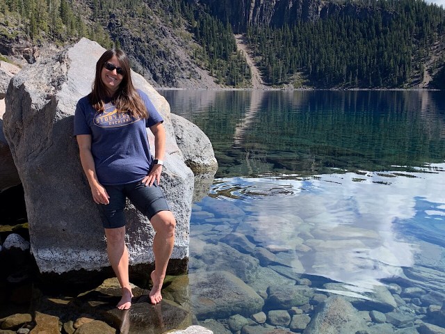
At the bottom there was a boat dock for the boat rides to Wizard Island. But they ended the boat tours for the summer last week, so we could not go for a ride. We got down to the bottom and Eva soaked her feet in the water. The lake water is the clearest water in the US, with visibility at least 100 feet. There were a few people jumping in the water, but since we did not plan to hike down, so we did not bring our swimsuits.
 After about 45 minutes at the bottom, we hiked back up the trail. It was not too bad, but now we were in the sun, so it got a little hot.
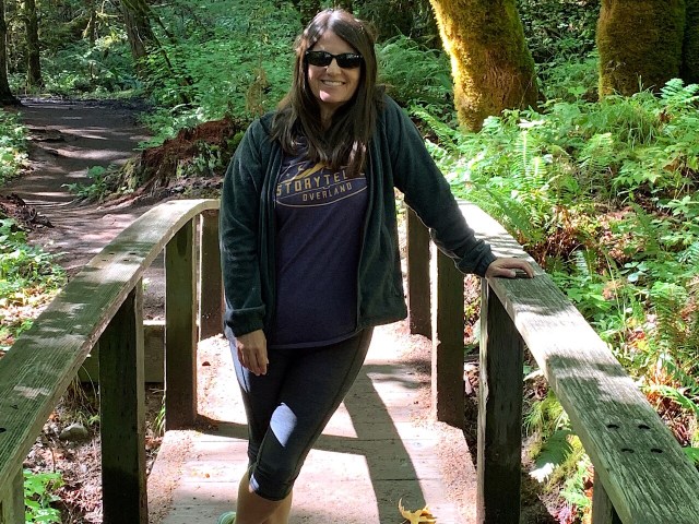
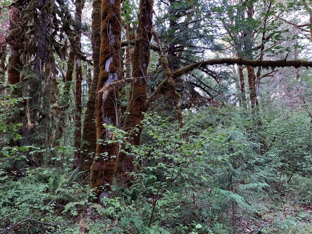
After the hike we ate lunch and left the park using the north entrance road. This started us towards the coast of Oregon. On the way we stopped and hiked to Toketee Waterfall. This was only about a 1 mile hike, but it was through a deep, dark and wet forest. It was almost like a rainforest. There were huge trees with moss and ferns growing everywhere.


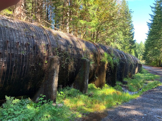
Near the parking area was a 10 ft diameter wooden flume that carried water to the power plant. It was leaking all over. I am surprised it has not fallen apart, but it has been there for a long time.
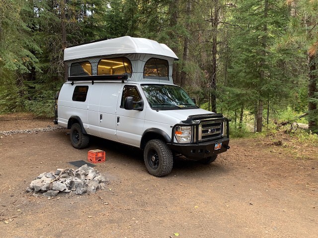
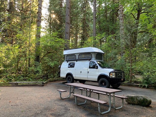
We continued down the mountain until we were close to Roseburg, Oregon. We found a campsite at Mill Pond Recreation Area. It was a very nice place with 12 campsites and we were the only ones camped there. We got a camping spot on the river and had camp set up by 4:30 pm. This is the earliest we have set up camp. Were were able to eat dinner by 6 pm, rather than 8 pm.

After dinner we walked along the river trail for about a mile. It was dark by the time we got back to the van.
